This level of ArcGIS Engine Runtime provides the ability to work with several different raster and vector formats, map presentation and data creation, along with the ability to explore features by performing a wide range of spatial or attribute searches.
This level also allows basic data creation, editing of shapefiles and simple personal geodatabases, and GIS analysis.
The final component of ArcGIS Engine is the ArcGIS Engine Runtime license and its extensions. All applications built with the ArcGIS Engine Developer Kit require ArcGIS Engine Runtime, with the appropriate license, to execute successfully.
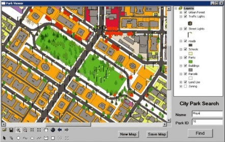
The standard ArcGIS Engine Runtime provides the core functionality of all ArcGIS applications. This level of ArcGIS Engine Runtime provides the ability to work with several different raster and vector formats, map presentation and data creation, along with the ability to explore features by performing a wide range of spatial or attribute searches. This level also allows basic data creation, editing of shapefiles and simple personal geodatabases, and GIS analysis.
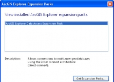
It expands the geodatabase functionality of the ArcGIS Explorer Desktop app.

It is a plug-in that provides interoperability between AutoCAD and ArcGIS.


Comments